
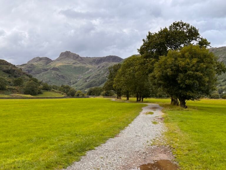
The Cumbria Way starts at The Gill in Ulverston and day one’s hiking is through farms and fields, and over moorlands. Depending on the time of year, this stretch of the route can be very quiet. That’s worth considering if you are hiking alone.
Navigation is mostly straightforward, but some signage can be a bit elusive, especially in the section between Newbiggen and Beacon Tarn.
The final stretch of the day follows Coniston Water into the village of Coniston in the shadow of the Old Man for your first overnight stop.
Day two starts with a steep climb out of Coniston but on the whole is a gentler hike. Official route books have you walk to Great Langdale, but on this itinerary, you will stop at Skelwith Bridge. This gives you the freedom to really take your time today, in contrast to yesterday’s walking.
You’ll walk via Tarn Hows, you can take a detour to Colwith Force if you want to and once you hit Skelwith, you also have the opportunity to go take a look at Skelwith Force. Heck, if you really have too much energy left at the end of the day – you can even hoof it up the lane behind the Skelwith Bridge Hotel to get a view of Loughrigg Tarn.
Day three is another easy-going day. You can take your time over breakfast – there is no rush today and there are plently of places to stop for lunch on route today also, so no need to pack a lunch unless you really want to. If you’re an early bird, you could hoof it up to catch the sunrise over Loughrigg Tarn.
Leaving Skelwith, you follow the Cumbria Way first to Elterwater, then Chapel Stile, and onto Great Langdale. Today is the day you start to see some truly wonderful scenery as you approach Great Langdale.
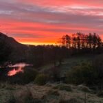
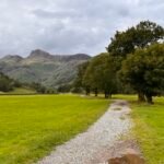
After a restful night at Great Langdale, which has several accommodation options – pick up the Cumbria Way again behind Old Dungeon Ghyll.
Today is a fantastic day’s walking if the weather is good. If the weather is bad – well, that’s a different story and if the weather is really foul with significant rainfall – you might want to consider how committed you really are to hiking this day because on a good day, you will cross streams. On a bad day – you will be wading through them. Don’t say you weren’t warned!
The day itself is not especially long, but it is quite tiring with the steep ascent and descent of Stake Pass to negotiate. You can overnight in Stonethwaite or Rosthwaite.
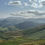
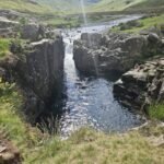
Day five takes you through the spectacularly mossy greens of Borrowdale and follows the left shore of Derwentwater all the way to Keswick.
You could easily be in Keswick for lunch if you head out early and today’s walking is pretty gentle. You can deviate from the path of course and join the throngs climbing Catbells. Or, you can take it easy, stop off at Lingholm for a leisurely lunch and then enjoy some time in Keswick, which has an abundance of shops, pubs, and restaurants; not to mention the largest pencil in the world.
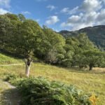
Day six is a long hike and it starts with a steep climb out towards Latrigg. The walking today is sublime though – particularly if the weather is good.
You’ll have lovely views of Blencathra on your right syou head towards Skiddaw House, which is a great place to stop for a break. There is an honesty kitchen here, where (at the time of writing) you can make yourself a proper cuppa – and if the weather is bad or cold – you should definitely take advantage of this cosy option and warm up before the next stretch.
You’ll have a choice to make at this point. Follow the foul weather route left if it’s bad, or, if it’s fine, continue on the regular route right.
You will come to a left turn over a footbridge and will reach the old mines – you should be able to see the Lingy hut high up on the hill. You are heading towards this.
After the mines, the going gets much more rocky underfoot and the path can be difficult to keep track of. Just for fun – this is where you will encounter peat hags as well.
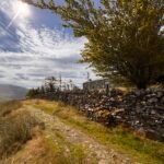
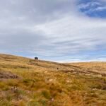
After the Lingy hut, you’ll climb High Peak and the views are big and far reaching. After this – it’s downhill you go and into Caldbeck for a well-earned beer and a good meal.
Day seven is your final day and it’s a full day’s walking that will take you into Carlisle.
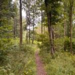
The walking starts out pretty and takes you through the woods. You will be passing through lots of farmland, so expect cattle. The navigation itself isn’t too tricky – but at the time of writing, the path has been altered at Bridge End but the official Cumbria Way sign remains pointing you right after the bridge. Unless you really want to walk out and back again – ignore this and follow the road to the T-junction where you need to take a right and then a left to pick up the way again.
Once you hit Dalston, you’re into the final stretch, which unfortunately follows the tarmac cycle path all the way to Carlisle.
Once you get to Carlisle – well – it’s time to celebrate. You did it!